Demo Project Download
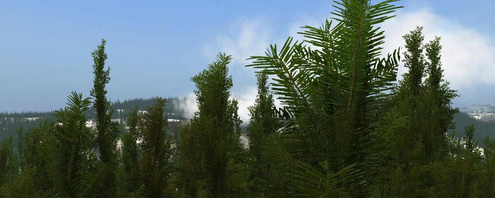
TerraTrees plugin is the ultimate solution for managing vegetation trees in Unity. You will achieve the most realistic 3D scenes using TerraTrees’s various settings just the way they are in Real World. With setting proper settings on your Terrain System Trees, you can place even millions of tree models on your terrain. So whether your creating scene needs a few trees or it’s a dense forest, they are simply at your fingertips.
TerraTrees places any kind of vegetation on your Terrain based on 3 modes:
Intelligent Trees: Analyzes Satellite Image and automatically detects vegetation areas for placement.
Mapping Trees: Operates on user-created maps or available raster tree-maps from GIS sources.
Normal Trees: Entire Terrain placement mixed with other desirable settings to affect placement.
TerraTrees also comes with Environment Settings feature to get control of Terrain “Steepness” “Height” while placing trees. This way you can assign “Steepness Range” “Elevation Zone” for each vegetation type during placement.
Options:
- Mode Switch between “Intelligent Trees”, “Mapping Trees” “Normal Trees”
- Show/Hide Image-Map preview
- Satellite Image/Map Rotation feature
- Color Picker with Damping feature in “Mapping Trees” mode.
- Preview of total number of trees placed on terrain so far
- Vegetation Preview with full settings on trees
- Advanced Mode to Run/Bypass Undo operations from Unity3D Edit menu
- “Remove All”, “Remove Selected”, ”Remove Replace” and ”Keep Add” vegetation on terrain
- Trees Manager to Add/Remove/Replace tree prototypes from Terrain System
- Preview of selected tree
- Change Tree Bending
- Single tree type or Collection tree types with priority option
- Scale Variation in models’ width height
- Color Variation in models with ”OVERRIDE” feature
- Row /Natural placement
- Density of placing models
- Limit for Maximum Trees Number
- “Environment Settings” for Terrain Steepness Elevation
- “Steepness Range” to modify Minimum Maximum degrees of Terrain surface angle during placement
- Preview/Export Steepness Map Filter with adjustable resolution for Geology operations
- “Elevation Zone” to set elevation ranges for placement
- Show/Hide Editor Preview of Tree Zone in specified elevation range
- Preview of the Highest Lowest point of Terrain
- “Intelligent Trees” mode RGB Analyzer for various color filterings
- Update Vegetation to update the terrain for any changes made in vegetation models
- Normal Placement on entire terrain
- Cancellation of progress at any time during placement
More Info: TerraTrees Product
Buy From:
TerraUnity Webstore US$ 125
Asset Store US$ 125
Free Lite Version:
TerraTrees Lite TerraUnity.com
TerraTrees Lite Asset Store
Help Documentation
Downloads: TerraUnity Downloads
Online Help: TerraUnity Online Help
FAQ: TerraUnity FAQ
TerraTrees Lite Comparison: TerraTrees Lite
Online Demo
Live Demo: TerraTrees Webplayer
Videos Screenshots