Hi! This thread is for announcements and discussions regarding our Work in Progress of World Political Map - Globe Edition for Unity. We’ll be posting movies and screenshots from our latest developments here. If you’re interested in the latest changes, scroll down to the end of the thread.
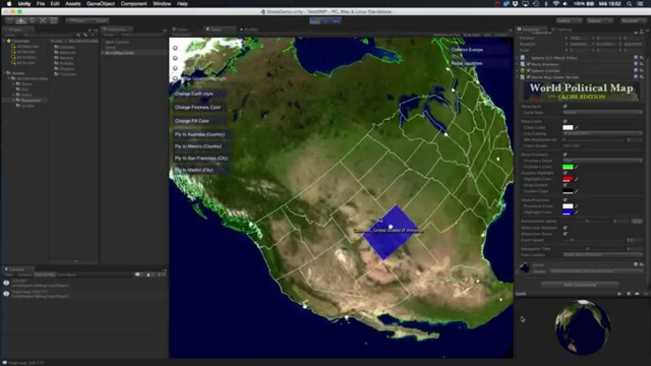
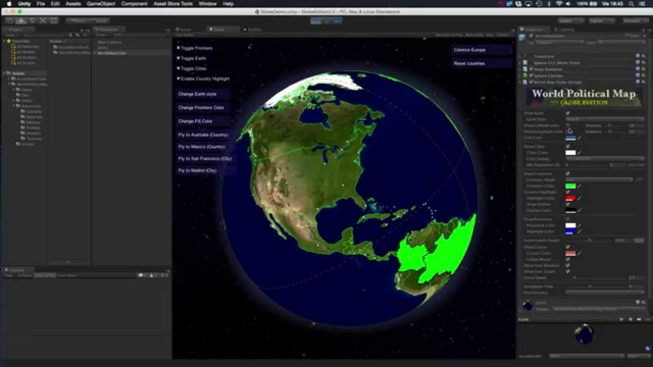
Howdy! Here’s a preview of v2! (Currently beta 1 available for customers!):
In this video two new great features are showed:
Support for Provinces and States for all Countries in the World
Yes! In this new release we are including the option to show the provinces or states for the active country under the mouse. You can of course toggle on/off them using the API as well, even color them permanently!
This is +4000 regions in addition to the 240 countries!
New Detail Level for Country Borders!
With this option enabled a more detailed geographic database is loaded and drawn allowing to view even the tiniest countries and islands.
Enjoy and please tell us what do you think / what would you like to see in next release. Thank you!
EDIT: this asset DOES NOT USE Google Maps nor other map provider. It relies on optimised and curated geographic data included in the asset. Therefore it doesn’t require Internet access and the drawing is blazing fast. And it’s just 10Mb packed (which you can even lower to <400 Kb if you only need low detailed geographic details).
New option to draw provinces/states for active country
Option to draw an outline around highlighted/colored countries - New options to show a cursor over custom/mouse position - New options to show latitude/longitude lines
Improvements:
Even faster frontier line rendering (+20%) - Tweaked triangulation algorithm to improve poly-fill
Can locate a country from the inspector
Cities are now drawn as small circular dots, instead of small boxes
Can change the color of the cities - Additional Earth style: CutOut
Fixes:
Some new properties were not being correctly saved from Editor - Colored countries hide correctly when Earth rotates
Hi!
In V2.1 of World Political Map for Unity, we have introduced labeling support.
This video shows the new feature in action:
The labels are automatically positioned and blended with the background texture allowing many interesting effects.
Options included for now are:
Minimum size (for all labels)
Relative size (starting at minimum size, the label may grow inside the country area based on this parameter).
Label and shadow color (shadow can be disabled)
The algorithm for automatic placement, although not perfect, has been implemented with performance in mind. It works better when label size is not too big because they cannot exceed the country area.
On my MBP with retina, drawing all labels takes less than 50ms, and once drawn, they can be individually moved, rotated or modified in any aspect in realtime without performance cost. It has also tested with highest detail level on an iPhone 5 and Samsung Galaxy 6.
Here’s a short video showing one of the new features of the upcoming version 3: the World Map Calculator! It allows you to easily convert between different coordinate types from the editor, use the mouse to select a location over the map, export to clipboard the results and/or fly to a custom location based on lat/lon or XYZ coordinates.
Video:
The component provides a custom API to specify source coordinates and the conversion type.
Today we have a new video showing the tickers component included in upcoming V3 of World Political Map. This is the second of the three extra components included in V3 along with the Calculator and the future Decorator (more on the later soon).
The Tickers component itself serves as a quick tester (custom inspector) and as an API. It includes all functionality required to create any number of ticker bands and texts over the globe, adding effects like fading, blinking and scrolling.
Today we have released a new beta of V3 of World Political Map which includes the Decorator component (remember that all customers have immediate access to latest beta in the private Beta releases board).
With the Decorator component you can customize the appearance of individual countries. Currently it supports changing:
Individual label texts and colors
Fill color of country regions
Assigning a texture (like a flag) to a country region
Modifying the texture appearance (scale, offset and rotation)
V3.0 has been approved by Unity and it’s already available on the Asset Store:
In addition to this, we have a new feature already rolled out in a new beta for V3.1 (which all customers have access for free at our forum). It’s the Inverted mode view. Take a look at this video for a better understanding…
The inverted mode is another way to use the asset in VR environment, like Oculus Rift. The user can sit in the centre of the globe and he will be able to browse the world map checking around…
Today we’ve released beta 5 of V3.1 with a new great feature which allows you to bake colorized areas into the current texture.
The Bake Earth Texture command is available from the gear menu in the inspector title bar:
Which will produce a new texture file in the Textures folder. You can simply assign this texture file to the Earth globe choosing “Custom” style in the Earth style combo above.
An example of generated texture is below:
You can of course decide which countries or provinces to colorize, set individual colors (including alpha) and even you can generate different texture files using the API (new method available for developers as well).
Obviously the most important benefit from this new feature is the performance boost you can get, especially on mobile. Additionally you can use this feature as a generic tool for generating custom color maps for any other use.
Per popular demand we have included a new “Scenic” style which adds a little bit of realism to the scene. Please note that this is work in progress, although the new style is available in today’s beta.
New Map Editor under development… this new amazing component for Globe Edition will be available as a free update for customers while in beta. Purchase now to benefit from current pricing!
Hi guys! We’ll release a beta tomorrow Monday including the new Map Editor component. This new beta will be available on our support forum as a free update for all existing customers.
The Map Editor component is now complete (check out the video below) and along more improvements has been submitted to the Asset Store! We look forward your comments!
In this new beta for V5 series, we introduced Mount Points:
Mount Points are special, user-defined landmarks, which are invisible during playmate (they appear as a flag in the Editor). You define them using the included Map Editor (button Create → Mount Point → click on the map). Mount points are linked to a country, so you must first select a country in order to create new mount points. Optionally they can be linked to a province if a province was selected when you created them.
Mount points have a type attribute (an integer) and a collection of tags. All of these fields are optional but allows you to store custom information useful for your application/game.
Once you have your mount points defined, it’s quite straightforward to show game objects on those locations or move them along different mount points. The API provided includes methods to retrieve mount point information filtering by country, province, type, …